
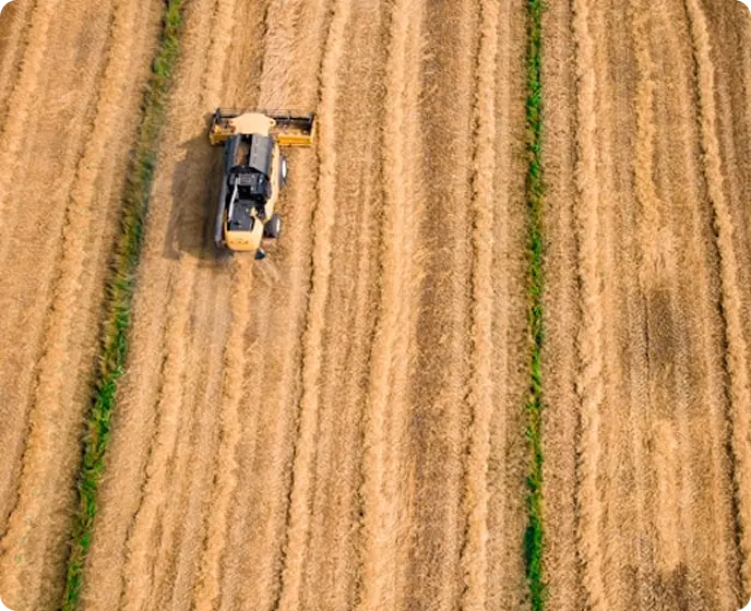
Geographic information system for water balance
Regadores Unidos del Uruguay (RUU) is a non-profit civil association founded in 2013, dedicated to promoting and supporting irrigation in all its forms while defending the interests of irrigators. Its mission includes encouraging both individual and cooperative irrigation, fostering the development of new water sources, and supporting local agricultural growth. RUU is recognized for its analytical platform, which provides national-level representation, as well as for the commitment and expertise of its members—many of whom have been pioneers in irrigation for over 20 years.
The Challenge
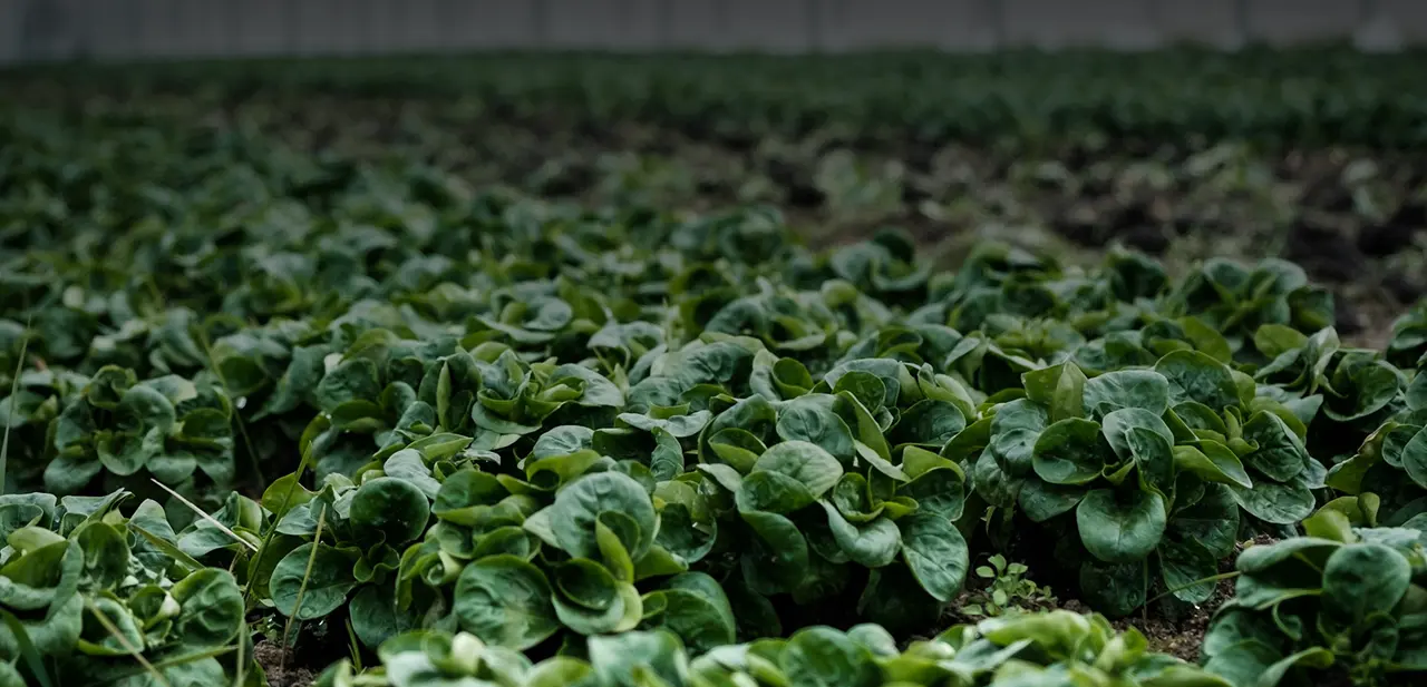
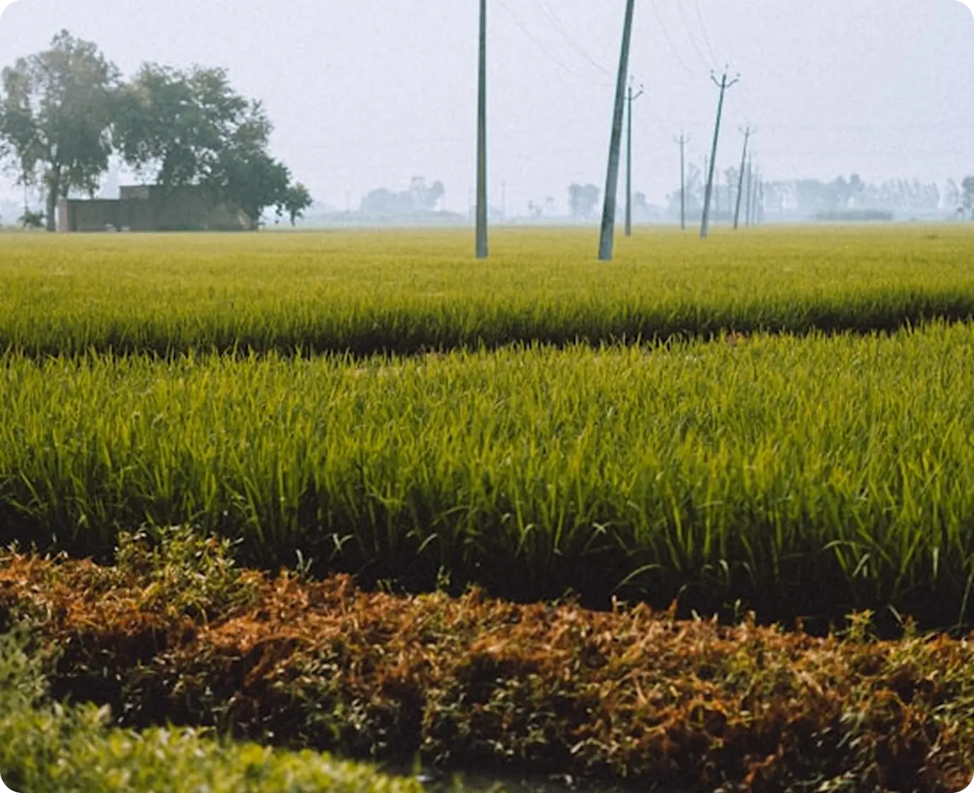
Uruguay faces considerable challenges in the development of irrigation due to irregular rainfall patterns and soils with moderate water storage capacity, which limit agricultural productivity. While there has been a significant increase in irrigation adoption within agriculture and dairy farming, progress in livestock farming remains slow, and irrigation covers only a small portion of the cultivated land.
Despite favorable policies and incentives, several key issues persist. Many producers lack accessible tools for irrigation scheduling, making it difficult to plan water use efficiently. Additionally, uncertainties about expected yields, irrigation system limitations, and concerns about the long-term impact on soil sustainability restrict investment and effective management of irrigation resources. Addressing these challenges required a robust technological solution capable of providing real-time insights to optimize irrigation practices.
The Solution
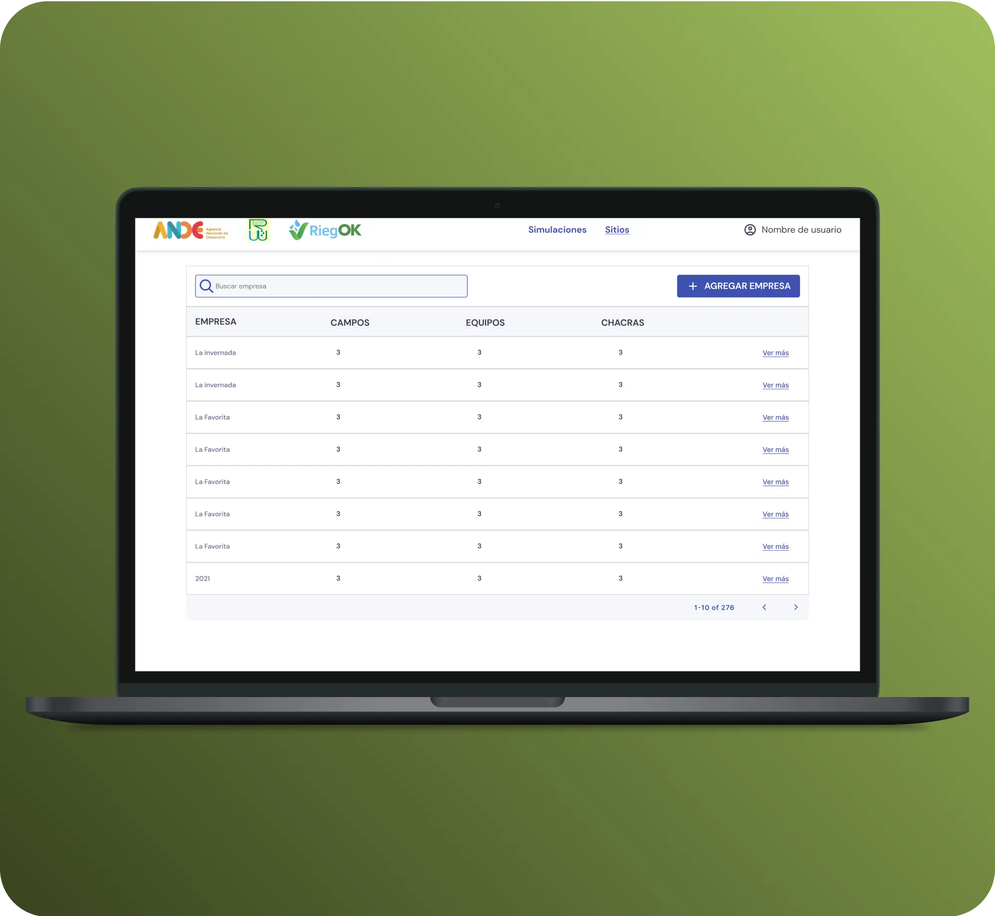
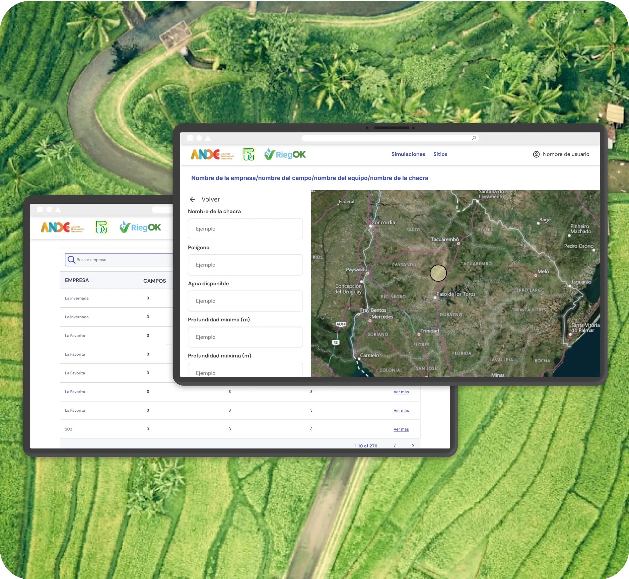
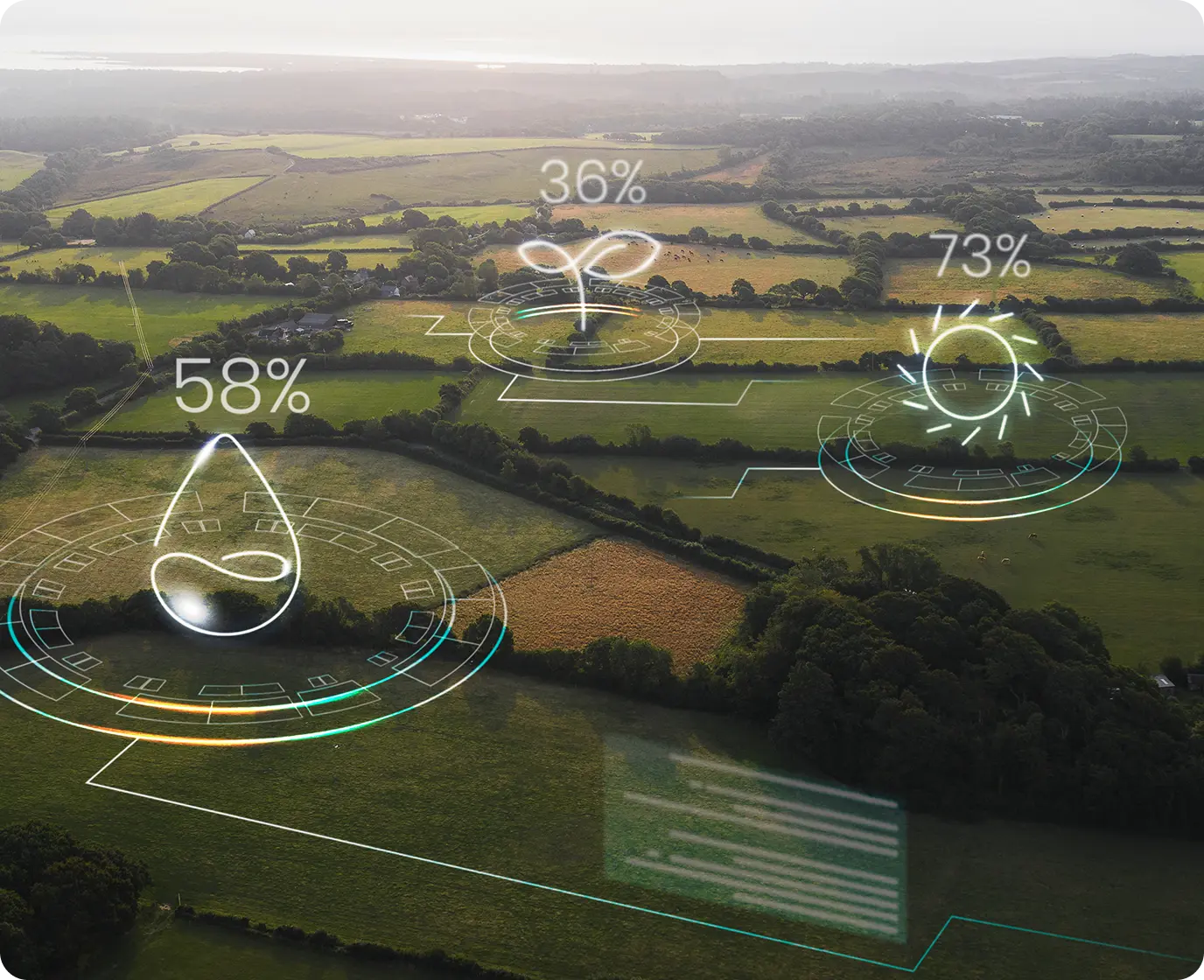
To tackle these challenges, DigitalProjex developed a Geographic Information System (GIS) for water balance, a publicly accessible web-based platform designed to assist producers in managing irrigation more efficiently. The solution integrates multiple functionalities to provide real-time, data-driven decision-making support:
Hydric characterization of soils: Allows users to assess water retention capacity and optimize irrigation strategies.
Agronomic variables input: Enables the customization of irrigation plans based on specific crop requirements.
Climate database integration: Uses historical and real-time weather data to enhance irrigation scheduling accuracy.
Weekly irrigation scheduling: Generates precise recommendations based on rainfall and irrigation records, ensuring optimal water distribution.
Productivity diagnostics and simulations: Helps farmers evaluate and improve farm efficiency by modeling different irrigation scenarios.
Impact analysis on soil organic carbon: Supports sustainable farming by assessing how irrigation affects soil health and long-term sustainability.
By combining these features, the GIS system provides an advanced toolset for producers, allowing them to optimize water use, reduce waste, and maximize agricultural productivity.
The Result
The implementation of this GIS-based irrigation system has significantly improved water resource management across Uruguay. By relying on real-time rainfall and irrigation data, producers can now optimize their water use, reducing waste and enhancing efficiency. The platform also enables farmers to diagnose and improve productivity through simulations and analyses, helping them make informed decisions about their irrigation practices.
Additionally, the system's ability to assess the impact of irrigation on soil organic carbon promotes more sustainable agricultural management. By providing easy access to crucial data on soil hydric characteristics and agronomic variables, this solution empowers hundreds of producers with the insights needed to implement responsible and efficient irrigation strategies, ultimately contributing to a more resilient and productive agricultural sector.
Discover more projects
-
 URF Managing insurance policies
Managing insurance policies
-
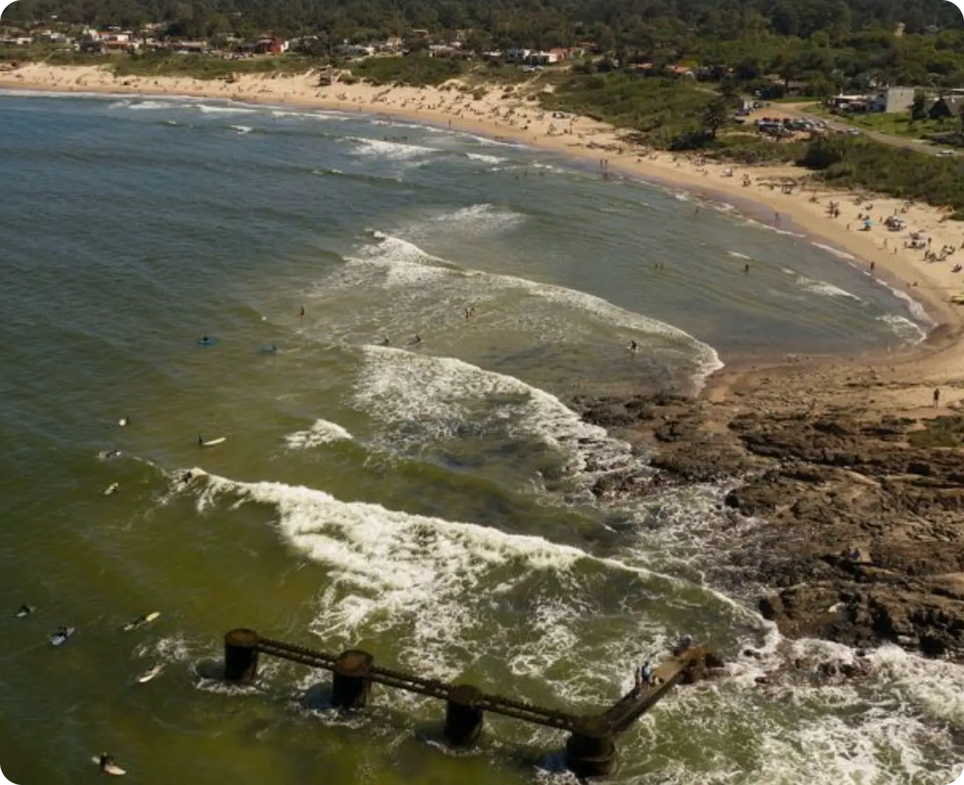 Canelones Coast
Managing the coastal areas of canelones
-
 Unified Portal of the Uruguayan State
Unified Portal of the Uruguayan State
-
 Optifert-N
Nitrogen fertilization for yield multiplication.
-
 National Climate Action Observatory
We monitor what is promised. We evidence what is fulfilled.
-
 Travelka
Driver management and cargo logistics
-
 WeChat generator
WeChat generator
-
 CLIMArroz
Monitoring of phenological and climatic events
-
 MLUTE
MLUTE
Improving the training of workers
-
 Klendar
Improving the customer service experience
-
 QR FARMA
Optimized distribution of pharmaceutical samples
-
 MyShopBox Package Management System
Enjoy Seamless Online Shopping
-
 Lanas Trinidad Maintenance System
Managing the maintenance process
-
 FertiRIEGO Horticulture
Information for irrigation and fertilization
-
 HPV UY
Platform against cervical cancer
-
 Nutribal
Optimization of nutritional balances for cultivation
-
 Soy
Soy
Sports Digital Transformation
-
 Lanas Trinidad App colector
Improving Wool Collection Processes
-
 Portal of Club Nacional de Football
The portal of the tricolor fans
-
 EQUUSID
Your horse's health, in the palm of your hand.
-
 Northeast Transportation System
Management Transportation System
-
 JDVA
JDVA
Real-time financial management
-
 Control system for advertising schedules and national music.
Time control of advertising guidelines and national music
-
 Yeda
Yeda
Improving the health and quality of life
-
 URF Laboratory and logistics management systems
Optimizing efficiency and accuracy in labs and logistics.
-
 ANDA: Online Services Platform
ANDA, organized solidarity.